
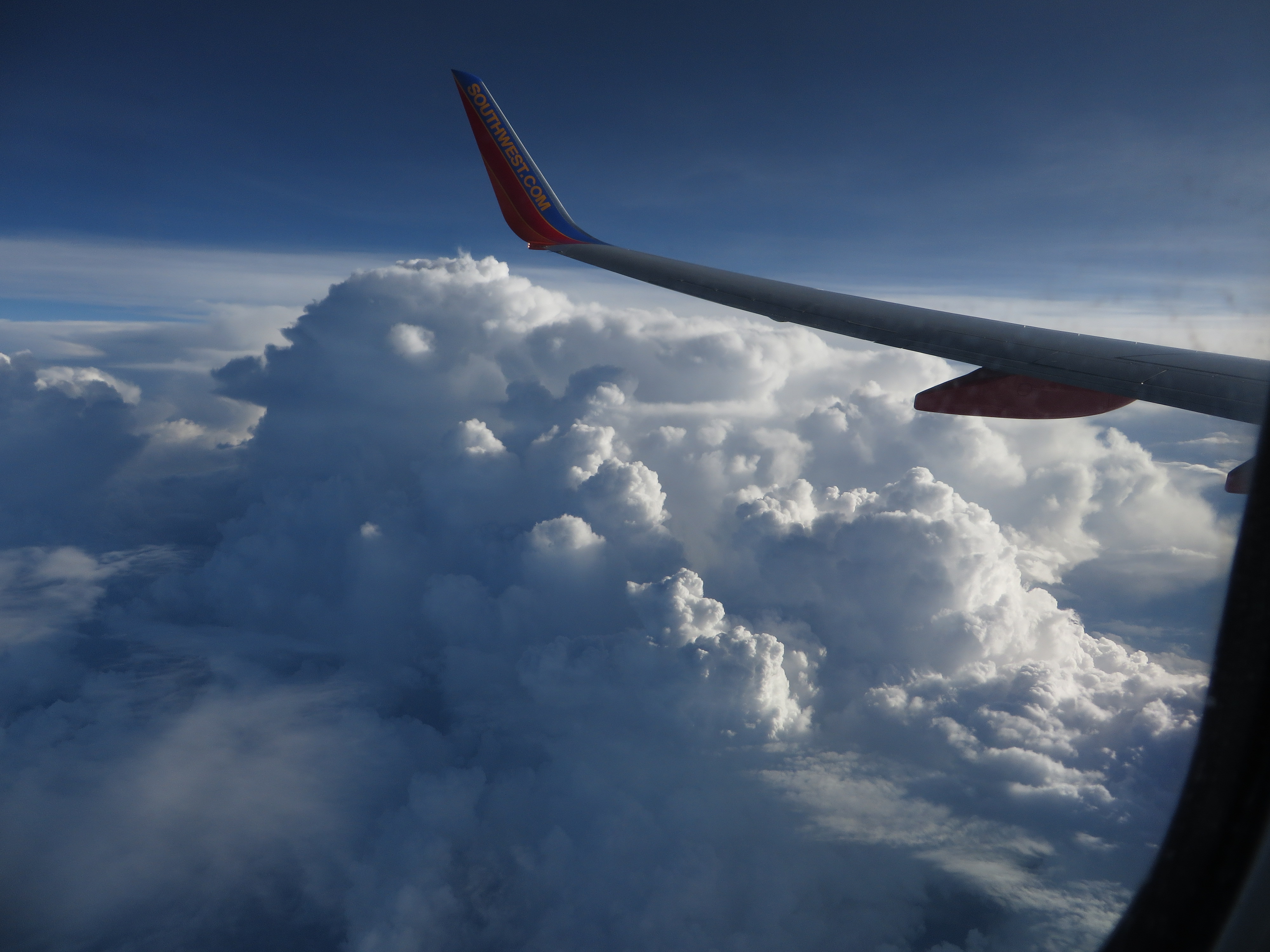
A cold front pushing into the region will bring three days of severe thunderstorms, damaging winds, and potential flash flooding to Bronxville, Scarsdale, and Eastchester beginning Monday, July 27, with the worst conditions expected Tuesday, July 28.
The National Weather Service forecast for Bronxville shows a 90% chance of precipitation on Tuesday, with thunderstorms possible after 11 a.m. and rainfall totals of up to 0.75 inches during the day alone. Tuesday night adds another 0.75 to 1 inch, according to the NWS New York office.
AccuWeather placed the entire New York City region, including southern Westchester, within a severe-thunderstorm zone for Tuesday. The main threats: damaging winds, large hail, frequent lightning, and flooding downpours. AccuWeather meteorologist Jack Wojczynski said the most widespread activity will likely develop during the afternoon and evening, disrupting travel along the Interstate 95 corridor.
The NWS Weather Prediction Center has placed portions of New York and the Mid-Atlantic under a slight risk of excessive rainfall for Tuesday. Repeated downpours could cause localized urban and flash flooding, particularly in low-lying areas with poor drainage.
The Hutchinson River Parkway near Mill Road in Eastchester and the Bronx River Parkway have flooded during prior storms. During a July 21 storm event, Westchester County warned residents to avoid the Bronx River Parkway, Saw Mill River Parkway, and Sprain Brook Parkway due to flooding.
The storm system arrives just days after the NWS confirmed an EF0 tornado touched down between Purchase and Rye Brook on Tuesday, July 22, with peak winds of 85 mph. No injuries were reported, but the tornado snapped trees on the Manhattanville College campus and downed power lines along its 1.8-mile path.
What to expect each day
Monday, July 27: A 40% chance of storms after 2 p.m., high near 86°F. The first round develops as the front approaches from the west.
Tuesday, July 28: The peak threat. Showers and thunderstorms throughout the day, 90% chance of precipitation, high near 79°F. The NWS Storm Prediction Center said organized storms could include bowing lines and isolated supercells.
Wednesday, July 29: An 80% chance of showers continues, with thunderstorms possible after 2 p.m. and a high near 78°F.
How to prepare
No watches or warnings have been issued for this system as of Saturday, July 26. The NWS issues watches several hours before severe weather develops and warnings when storms are imminent or occurring.
During a comparable July 5 storm that knocked out power to roughly 7,000 Westchester County customers, the Village of Scarsdale advised residents to avoid unnecessary travel during heavy rain and to never drive through flooded roadways. The same precautions apply.
Residents can sign up for Scarsdale's Everbridge emergency notification system here. For non-emergency concerns such as downed trees or flooded streets, call the Scarsdale Police Department at 914-722-1200. To report power outages or downed wires, contact Con Edison at 1-800-752-6633. In any emergency, dial 911.